
A GPS tracker geofence alert can fail at four different stages: the tracker may not report a fresh position, the geofence may not apply to that device, the platform may not create an enter or exit event, or a valid event may never reach the phone. Check the stages in that order. A map pin alone does not prove that an alert was sent.
For a company vehicle or an asset you are authorized to monitor, one controlled entry and exit test can isolate the failure. Preserve current settings and location history before making changes so that you can identify which step made a difference.
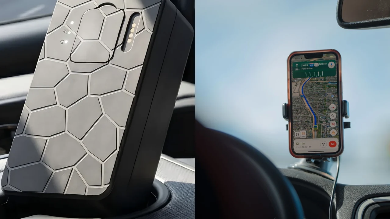
Did the GPS tracker report a fresh position after crossing?
Start with the time and location of the last actual device report. A map can show an old location even when the app has just been refreshed. If a geofence system calculates entry and exit from reported positions, stale or missing points leave it little useful evidence that the boundary was crossed.
Traccar’s Events and Notifications documentation distinguishes events generated on the server from alarms reported directly by a compatible device. That distinction matters because a server-side geofence normally depends on the positions the server receives. It is not a promise that every GPS tracker calculates a geofence in the same place.
I would record the last fix time, last report or receipt time where available, and the time the vehicle actually passed the boundary. Use the same time zone. The QZT wrong-location troubleshooting guide explains why a recent app connection, a network estimate and a fresh satellite fix are not equivalent.
The reporting interval also matters. Consider a hypothetical vehicle traveling steadily at 60 km/h with one reported position every five minutes. It covers 5 km between those reports. A small zone entirely between two reported positions might never contain a sampled point. Some platforms have other event-generation logic, so this calculation does not predict the outcome for your system.
| What the record shows | What I would investigate |
|---|---|
| No fresh positions during the crossing | Power, cellular service, SIM/platform connectivity, scheduled reporting and sleep mode |
| A fresh point before the zone and another beyond it | Update interval, zone size, route and the platform’s event logic |
| Fresh but displaced positions at the boundary | Satellite reception, nearby buildings and the position source |
| Fresh points clearly on both sides, but no event | Geofence assignment, event creation rules and scheduling |
GPS.gov notes that buildings, trees, bridges and reflected signals can impair a receiver’s position. A narrow geofence drawn against the edge of a building can therefore produce a different outcome from an open-road test. Do not quote GPS.gov’s consumer smartphone accuracy figures as the precision of a specific QZT tracker.
If a rechargeable tracker is asleep or deliberately reports less frequently, first ask whether its current reporting schedule can support the customer’s alert requirement. The GPS tracker reporting-interval and battery guide covers that separate runtime tradeoff.
Are the geofence, device assignment and schedule correct?
A zone drawn on a map is not enough. Confirm that the correct device or device group is assigned, that the boundary surrounds the intended real-world place, and that any schedule permits events during the test. A subscriber also needs appropriate permission and a notification configured for the relevant event.
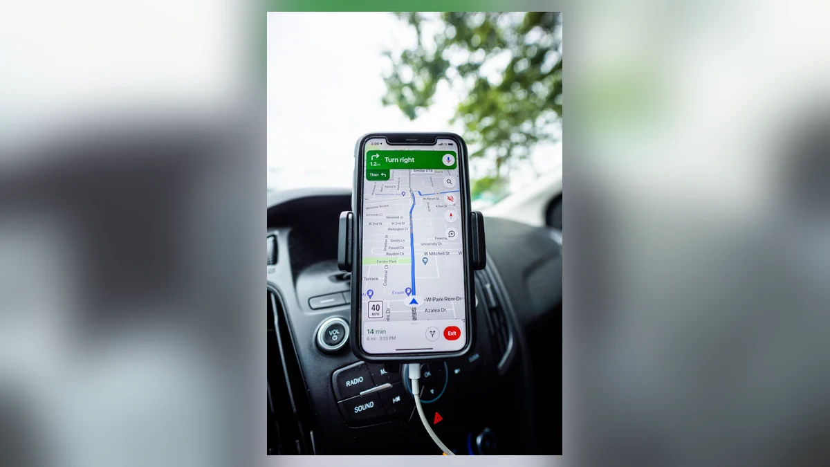
For a concrete platform example, Traccar’s Geofences documentation supports circles, polygons and polylines. It says that linking a geofence to a device or group enables monitoring for that device or group. Linking the zone to a user, by contrast, controls user access and the ability to subscribe to events. Traccar can also apply a calendar to restrict when the events are generated.
That means a person who can see a zone may still be missing the device assignment or event subscription. I would inspect those relationships separately, not delete and recreate the zone immediately. Menu names differ on supplier-hosted and third-party tracking platforms; Traccar’s settings are not the QZT default.
Check the geometry before changing the radius:
– Is the tracker assigned to the intended zone, rather than another depot or customer account?
– Does the mapped boundary include the actual arrival point, entrance, loading area or gate?
– Has the zone been saved and, where required, synchronized to the device?
– Is a time-of-day calendar preventing events outside operating hours?
– Is the rule set to enter, exit, or both? Does the platform distinguish server events from device alarms?
A large zone is not automatically a better design. Enlarging it can move the trigger point farther from the customer’s gate, even if it reduces sensitivity to location noise. For a fence with a tight radius, compare its dimensions with the actual observed positioning scatter before picking a new size.
Tracki’s separate GPS tracker FAQ provides a vendor-specific example of a guardrail: that service documents a 300 m minimum zone size. It would be wrong to apply that number to QZT, Traccar or another vendor without checking the supported platform. The example illustrates why zone dimensions must be read from the actual system.
I would save the original zone size, coordinates, assigned device and any calendar before making one controlled change. That provides a useful before-and-after comparison rather than an unexplained set of new settings.
Was a geofence event generated but no message delivered?
The next question is whether the platform actually created an event. Search its event history or reports for the device, zone and test period. If an entry or exit event exists, you have already narrowed the problem: the location and zone event path worked for that crossing, and notification delivery is now the separate layer to investigate.
Traccar is explicit on this point. Its Events and Notifications guide says events may be present in the event report even when no notification was configured. It also requires the desired event type and user/device subscription to be configured for notifications; delivery channels may include email, push and SMS, depending on server settings.
I would compare the event report with the alert settings for the same device and user before blaming the hardware. I prefer a saved event record to a notification screenshot because its timestamp helps isolate the failing layer. Tracki’s Notifications guide independently documents separate Zone entry and Zone exit controls and linked contact recipients. Neither interface should be assumed to match the QZT product supplied to a customer.
| Event history | Phone or email | Next check |
|---|---|---|
| No enter/exit event | No message | Position reports, boundary, device assignment, calendar and event rules |
| Enter/exit event recorded | No push banner | User subscription, selected event type, app notification permissions and delivery channel |
| Event recorded | Email received, no push | The phone’s app permissions or push channel, not GPS hardware first |
| Events and alerts exist, but arrive late | Delayed message | Event timestamp versus send/receipt timestamp; network and notification delivery path |
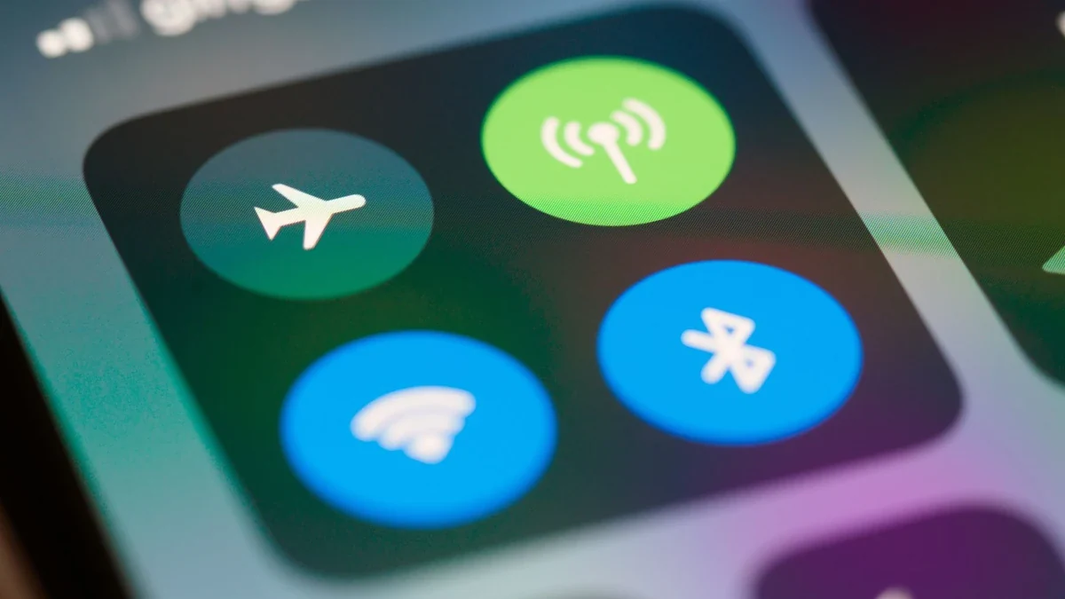
For push delivery, verify that the intended account is signed in, the app is permitted to show notifications, and the phone is connected. Do Not Disturb or notification-summary settings can hide or delay a banner without eliminating the event record. Avoid declaring the tracker faulty solely because one phone remained silent.
Some services deliberately restrict repeat alerts. The Tracki Pet product guide specifies a five-minute cooldown between consecutive zone alerts. That is a Tracki Pet-specific rule, not a general GPS tracker behavior. If the first alert arrives but a quick return trip does not, ask whether your exact system documents similar suppression.
The useful evidence for the provider is the event ID or history entry, event time, notification type, intended account and whether email, push or SMS arrived. Those details let support investigate the actual missing layer without reconfiguring unrelated settings.
How do you test entry and exit without guessing?
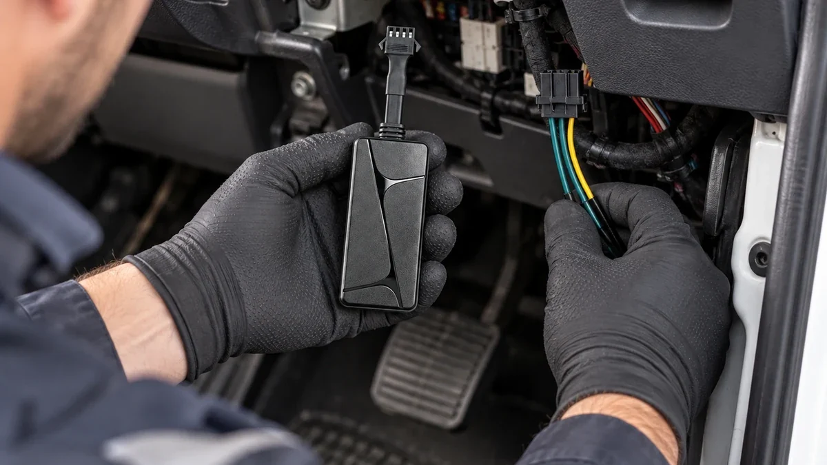
Use one authorized device and a safe, repeatable route. Draw or select a zone where the vehicle can be clearly inside and outside during the test. Avoid a fence boundary immediately beside tall buildings or an underground entrance while establishing the basic behavior. Do not alter vehicle wiring or drive while operating the app.
I would run the test with a stationary observer or a passenger who can safely record the app state, while the driver focuses on driving. Start well outside the zone, wait for a fresh report, enter the area, remain inside long enough for another valid position to be received, then exit and repeat the process. Check that the reporting schedule supports this test; do not assume a live position will be uploaded every second.
Keep a small acceptance record. The table below is a test template, not an assertion that a particular QZT model has already passed.
| Field | Record |
|---|---|
| Exact tracker model, revision and firmware | As supplied |
| Tracking platform and app versions | Exact version or not known |
| Geofence shape, dimensions and assigned device | Saved configuration |
| Event types enabled | Enter, exit or both |
| Date, time zone and test route | Reproducible details |
| Position/fix time and server receipt time | Where exposed |
| Entry and exit event times | Event ID or “not generated” |
| Push, email or SMS delivered | Pass / fail / not tested |
| Background conditions | Obstructions, network coverage, reporting schedule |
If the platform shows no fresh positions, stop the notification test and fix reporting first. If positions are good but no events appear, review the assigned fence and event rules. If events exist but alerts do not arrive, troubleshoot delivery. Changing several things at once destroys the value of this sequence.
For fleet rollout, test the actual account permissions and notification recipients, not only the dealer’s administrator account. A test alert reaching an admin does not prove that the driver’s supervisor or another authorized user will receive it.
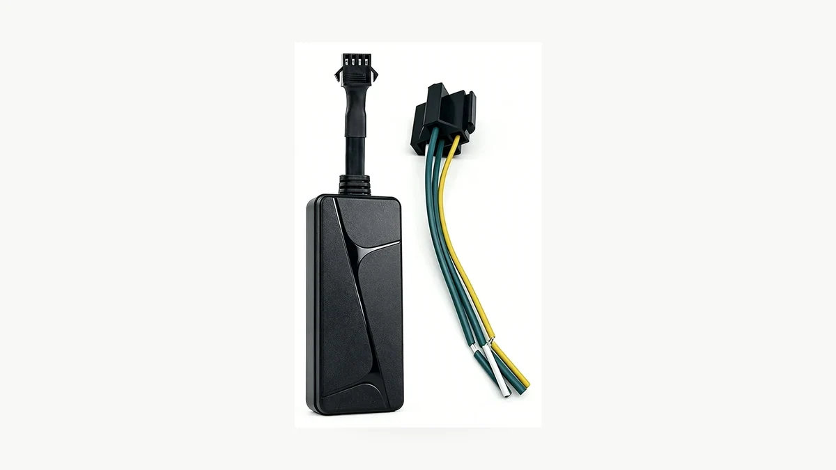
The QZT N70 wired vehicle tracker and G50 magnetic tracker are product examples, not a promise that every firmware or subscription includes a particular geofencing menu. Ask for the exact platform’s current geofence and notification documentation before ordering or deploying a batch.
Frequently Asked Questions
Can a GPS tracker pass through a small geofence without an alert?
Yes, depending on the platform’s event logic and available location reports. A GPS tracker that sends points far apart may not provide a position inside a narrow zone. Review fix times, route and fence geometry first. Some systems process boundary events differently, so confirm behavior on your exact platform with an authorized route test.
Does a GPS tracker appearing on the map mean geofence alerts are enabled?
No. A GPS tracker showing a map location only proves that some position information is available. The geofence may still require the correct device assignment, enter/exit event rule, active schedule and notification subscription. In Traccar, events can exist without a configured notification. Verify the event report and intended recipient separately.
Why is there a geofence event but no push notification?
A GPS tracker platform can generate a geofence event even when the user’s notification channel is not set up correctly. Check the event type, assigned device and recipient, then the app’s permissions and push delivery. Compare email or SMS, when supported, to determine whether the failure is limited to the phone.
Can GPS geofence alerts arrive late after a coverage gap?
Yes. A GPS tracker may send positions later than they were measured when coverage or reporting is interrupted, depending on the device and platform. A delayed report can delay the corresponding event or notification. Compare the position-fix timestamp with server receipt and alert-delivery times before promising a maximum notification latency.
Should I increase the geofence radius to stop missed alerts?
A larger GPS tracker geofence may help when ordinary position variation repeatedly crosses a tight boundary, but it also changes where entry or exit is detected. First confirm the device’s actual positions, the zone shape and report interval. Save the original settings, adjust one variable and repeat the same route test.
What to confirm before a GPS tracker rollout
For a QZT GPS tracker enquiry, provide the intended country, exact device/platform, required geofence dimensions, update interval and notification recipients. Ask the supplier to demonstrate a fresh location report, a recorded enter/exit event and the final message on the customer account before approving a production order.
 English
  Italiano
  Deutsch
  Français
  Español
  Polski