
A GPS tracker does not have one universal “maximum distance.”
The tracker can calculate a position from satellite signals in one place, but you only see that position remotely if the device has a working way to send the data to you.
For a long-distance tracking project, separate three things:
- satellite/GNSS reception;
- the communication path from the tracker to a server or nearby device;
- the app or platform that delivers the location to the user.
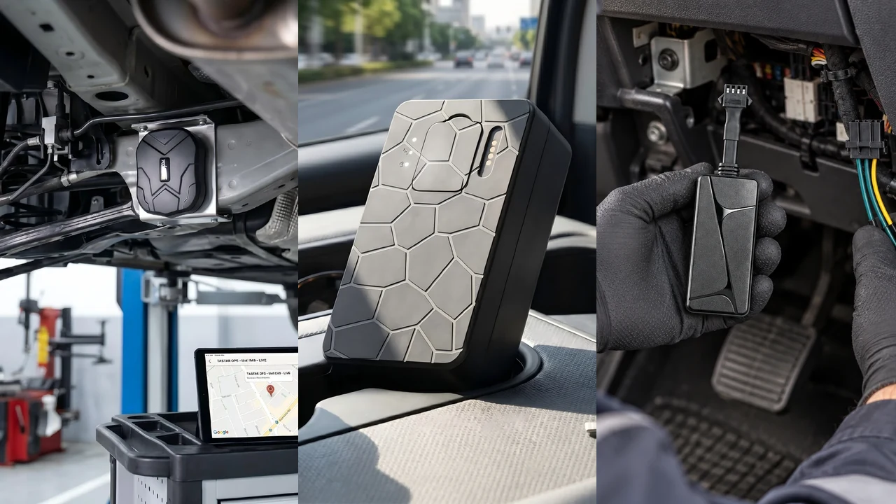
No-text composite of real QZT TK905, G50 and N70 product images. It illustrates different cellular tracker formats, not a universal range test.
1. GPS satellite coverage is not the same as tracker communication range
GPS satellites broadcast one-way reference signals. A GPS receiver uses those signals to calculate position and time.
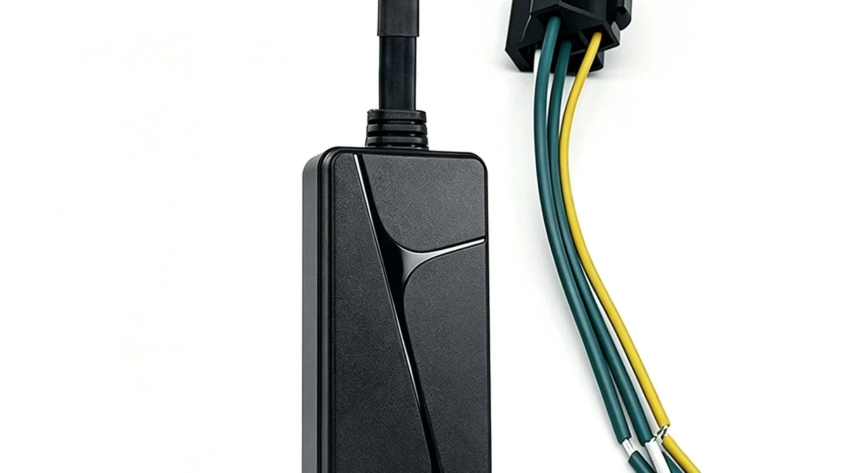
Real QZT N70 product image. GNSS reception and remote data transmission are separate parts of the tracking system.
GPS.gov explains that the GPS space segment transmits one-way signals and the user segment consists of receiver equipment that calculates the user's position and time.
Official reference: https://www.gps.gov/gps
The satellites do not send your tracker's calculated location back to your phone.
That means “GPS works worldwide” does not mean “this tracker can report to my app worldwide.”
The remote reporting distance depends on the second layer: the communication system.
2. A cellular tracker works wherever its supported network path works
For a cellular GPS tracker, remote range is usually limited by mobile-network availability and the service configuration, not by a fixed number of metres from your phone.
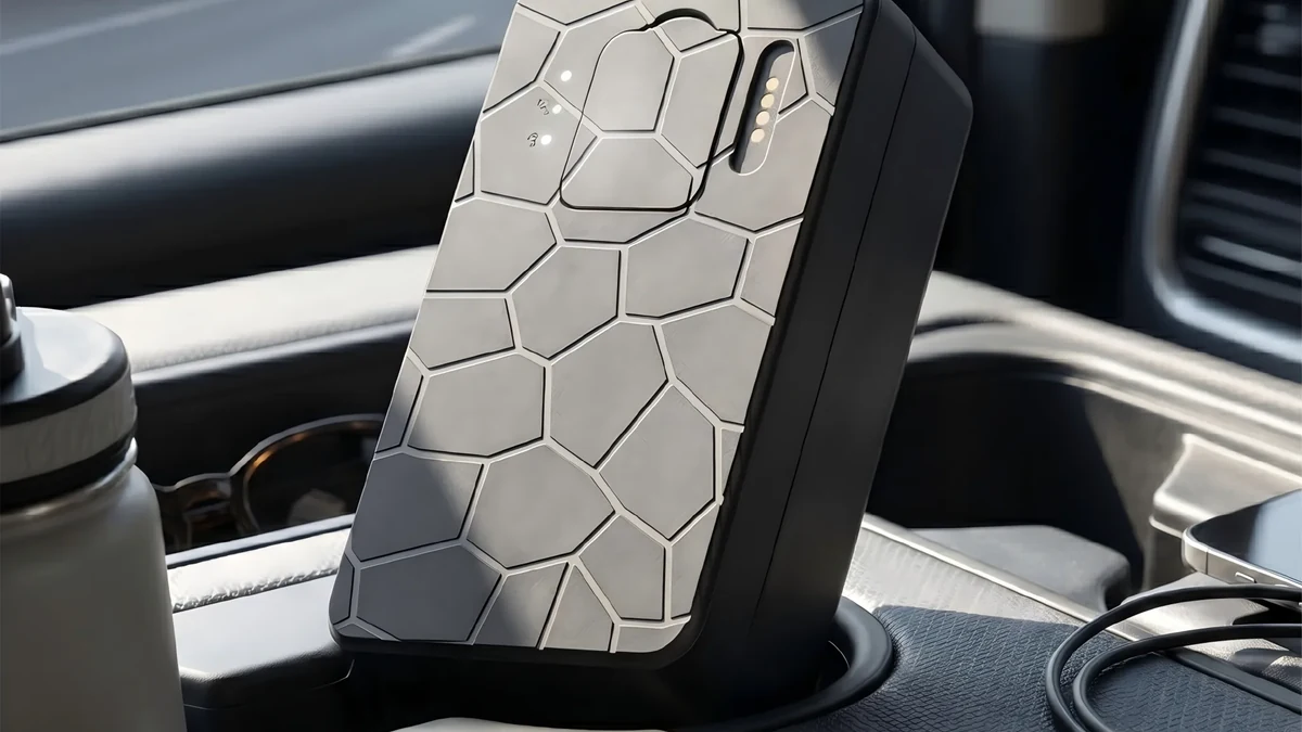
Real QZT G50 source image. Cellular tracking still depends on supported bands, SIM/data, coverage and the server/app path.
A working cellular chain needs:
- compatible radio bands and network technology;
- an active SIM/eSIM or other supported mobile service;
- correct APN/activation where required;
- mobile coverage at the tracker;
- a working server/platform;
- a valid account/app;
- a reporting interval and power plan that match the job.
So avoid the phrase “unlimited range.”
A better description is:
Remote tracking can continue while the tracker has usable GNSS/location data, a supported communication network, and access to the required server/platform.
Crossing a city or national border can change roaming, network bands, SIM rules or platform availability. Confirm the destination market before ordering.
3. Bluetooth and crowd-network finders use a different idea of “range”
A Bluetooth item finder does not behave like a cellular vehicle tracker.
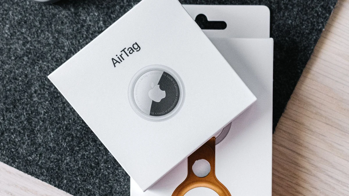
Licensed Pexels photo. AirTag is used only as an architecture example; it is not a QZT product or a substitute for a cellular vehicle tracker.
Apple explains that AirTag sends a secure Bluetooth signal that can be detected by nearby devices in the Find My network. Those devices relay the location to iCloud.
Official reference: https://www.apple.com/airtag/
This creates two different concepts:
- direct Bluetooth range between the finder and a nearby device;
- crowd-network reach when another compatible device detects the finder and relays its location.
That second case can produce a remote location report without a SIM inside the item finder. It still depends on the external network of nearby compatible devices.
Do not compare this with cellular tracker “range” as if both were one radio-distance specification.
For the no-SIM architecture question, use: https://qztsecurity.com/gps-tracker-with-without-sim-wholesale-guide/
4. Buildings, antennas, coverage and power all change real-world tracking performance
A long-distance project can fail even when the headline network type looks correct.
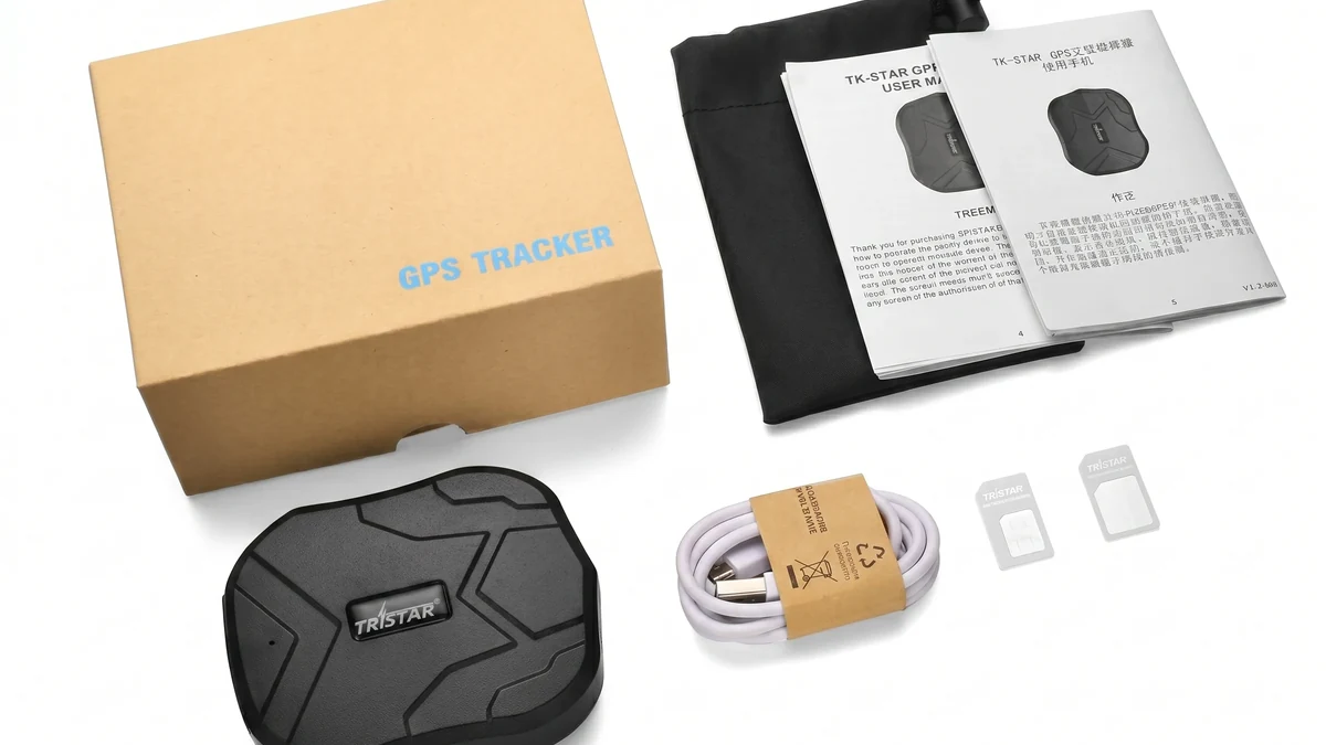
Real QZT TK905 package image. Practical tracking depends on installation, signal conditions and the exact service configuration.
Common limits include:
- indoor, underground or shielded locations that reduce GNSS reception;
- weak cellular coverage;
- unsupported LTE/2G bands for the destination operator;
- poor antenna orientation or blocked placement;
- roaming restrictions;
- inactive/expired SIM or data plan;
- server/platform outage;
- low battery or vehicle-power interruption;
- very long reporting intervals that make the map appear stale.
GPS.gov notes that buildings, bridges, trees and other obstructions can degrade GPS positioning accuracy.
Official reference: https://www.gps.gov/gps-accuracy
A “long-range” tracker therefore needs both a positioning test and a communication test.
5. Current QZT trackers are cellular examples, not proof of one universal range
Current QZT product pages show different cellular tracker formats.
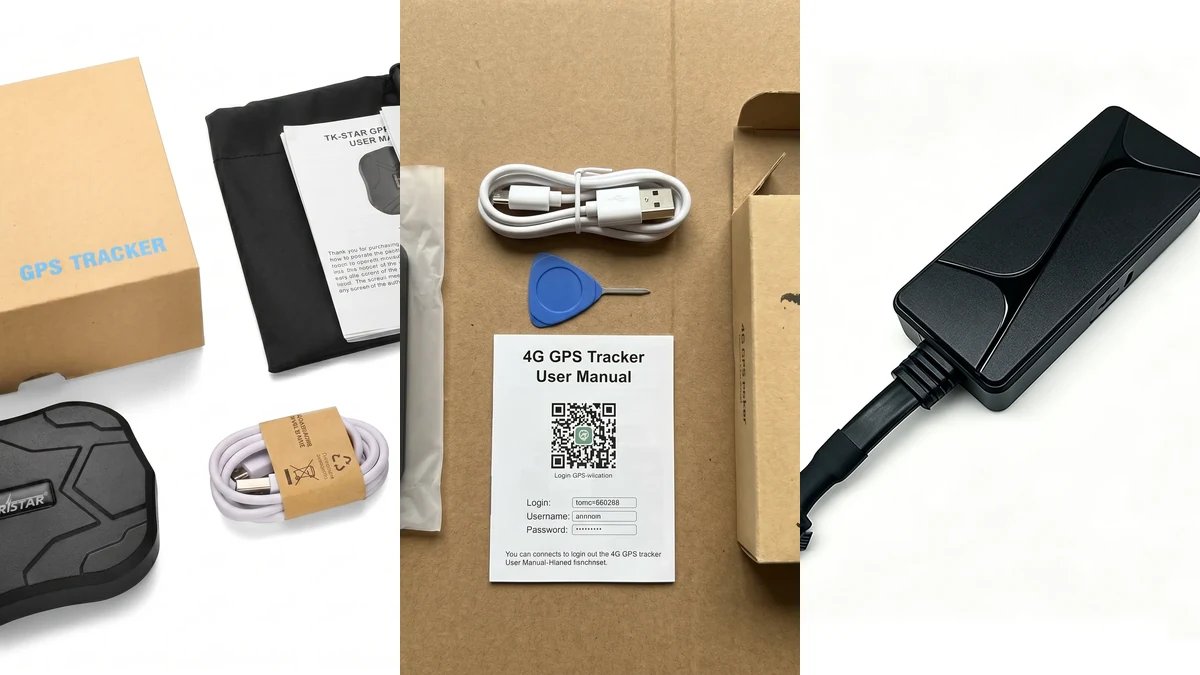
No-text QZT product composite. The products should be tested with the destination network and platform before a repeat order.
Examples include:
- TK905 Magnetic GPS Tracker — magnetic vehicle/asset format; confirm SIM/network plan and app/server/account setup.
- G50 4G Magnetic GPS Tracker — 4G magnetic format; confirm SIM compatibility, location updates and app/server login.
- N70 4G Wired Vehicle GPS Tracker — hardwired vehicle format; current page lists SecumorePlus and gps16888.com and requires SIM/platform verification.
Product links: https://qztsecurity.com/gps/tk905-magnetic-gps-tracker/ https://qztsecurity.com/gps/g50-4g-magnetic-gps-tracker/ https://qztsecurity.com/gps/n70-4g-wired-vehicle-gps-tracker/
None of these pages establishes a universal “maximum tracking distance.”
The correct commercial question is:
Will this exact hardware version, SIM/operator and platform continue reporting at the places where the project needs it?
For recurring-cost questions, use: https://qztsecurity.com/gps-trackers-with-no-monthly-fee-what-costs-still-apply/
6. Test the route you actually need before a bulk order
The most useful range test is an end-to-end route test, not a bench test beside the phone.
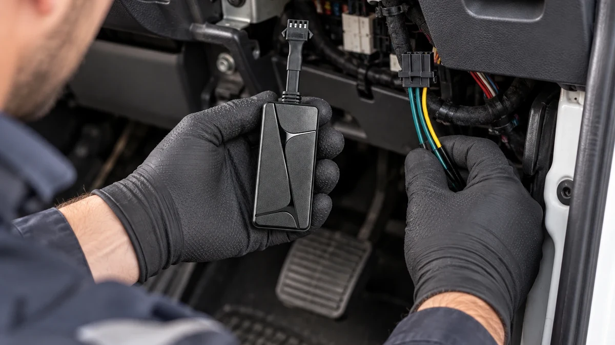
Real QZT N70 installation scene. Test on an owned or authorized vehicle and record the exact tracker, SIM and platform configuration.
Record:
- tracker model and hardware/firmware version;
- SIM/eSIM and operator;
- country/region and supported bands;
- installation location and antenna orientation;
- app/platform/account;
- reporting interval;
- route and areas of weak coverage;
- time of each reported point;
- behavior during network loss;
- whether stored points upload after reconnection;
- battery or vehicle-power state;
- the result after tracker and vehicle restart.
A tracker that reports well on one operator in one country should not automatically be sold as “long range everywhere.”
The tested claim should name the conditions.
Frequently asked questions
How far can a GPS tracker work?
There is no one metre or kilometre number for all GPS trackers. GNSS reception, the communication network, server/platform access and the specific device configuration all matter.
Does GPS itself have an unlimited range?
GPS satellites provide positioning signals over a very large service area, but the tracker still needs a communication path if you want to see its position remotely. Satellite reception and remote reporting are different functions.
Is 4G automatically longer range than Bluetooth?
They are different architectures. A 4G tracker can report through a supported cellular network. A Bluetooth finder uses direct Bluetooth or a compatible crowd network. Compare the required service, not one “range” number.
Can a GPS tracker work across countries?
Potentially, if the exact hardware supports the destination networks and the SIM/roaming/platform service works there. Verify bands, operator support, roaming and account terms before deployment.
What if the tracker loses mobile coverage?
Behavior is model-specific. Some trackers can store points and upload them after reconnection; others may simply have a gap. Test this on the exact sample rather than assuming store-and-forward support.
Which QZT tracker has the longest range?
QZT does not publish a universal distance ranking for TK905, G50 or N70. Choose the form factor and network version, then test the intended operator, route and platform.
The useful long-distance specification is not a single kilometre figure. It is a verified end-to-end path from position fix to network to server to user.

 English
  Italiano
  Deutsch
  Français
  Español
  Polski